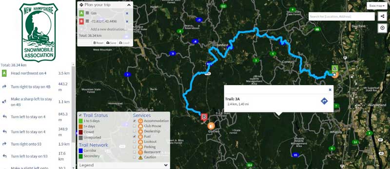
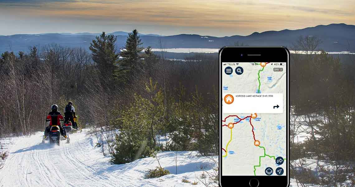
The NHSA Trails Committee is working on a new digital snowmobile trail map for our members. It will consist of two offerings: an interactive web map and a mobile map app that can be downloaded to iPhones and Android devices. It is hoped that the maps will be introduced this winter.
EDIT: MAP NOW AVAILABLE

Web Map Features
- Free to use
- Plan routes and trips
- Share with friends
- Pre-planned routes can be imported to mobile app

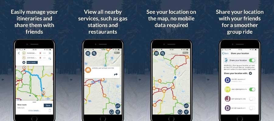
Mobile App Key Features
- Available for Android and iPhone (estimated at $4.99)
In areas WITHOUT cellular coverage
- View your location on the map through phone GPS signal
- Turn-by-turn directions
- View nearby restaurants, gas stations, hotels, parking and other services
- See the distance between you and a specific point (as the crow flies)
- Quickly save and load itineraries
When in cellular coverage enjoy these additional features
- Keep an eye on updated trail status for the best riding experience
- Easily meet with friends by privately sharing location with each other
- Plan itinerary and share with your group
Presentation From President’s Meeting
[pdf-embedder url=”https://slednh.com/wp-content/uploads/2019/09/Trails-Report-Map.pdf”]
FAQ
Why a Digital Map?
The old online map is not interactive or mobile friendly. Members have requested that the NHSA produce a better online map and a mobile app. The bylaws specifically state that the NHSA shall “…map a system of trails for the use of snowmobiles.”
How Do I Get a Map?
Everyone wants a map but getting your hands on one is a challenge. Planning a ride or trip without one is complicated. The web and mobile app solve these issues and will be available 24/7.
Don’t Map Apps Already Exist?
There are several private companies selling digital trail maps for NH and more are expected. Unfortunately, the Clubs, NHSA and Trails Bureau have zero input. The trails may not be accurate or approved. They are produced by private companies that do not support clubs.
Will Paper Maps Still Be Available?
Yes. Many clubs will continue to produce paper maps, which is often part of their fundraising effort. Riders often carry paper maps in addition to digital maps, as a second resource and backup. The NHSA will no longer produce a paper version of the statewide map.
Can Clubs Sell Digital Ads?
The plan is to open an additional financial opportunity for clubs to sell digital ads in addition to their printed map ads, creating a whole new revenue stream. This is critical as private digital map companies enter the competitive space and attempt to monetize.
How Does the Overhead Compare?
Digital maps are less expensive to produce and distribute than paper maps. This will save the association money while offering superior products for clubs and members. In addition, income from app sales will help defer some of the cost. Remember, the web version is free to the consumer!
Can the Map be Updated?
Yes, the map will be updated to display re-routes, trail closings, openings, and such. That wasn’t possible before.
Are Services Displayed?
Critical services, such as fuel and emergency services will be displayed. Additional points of interests, like parking, clubhouses, warming huts and vistas will also be available. There will be opportunities for business, such as lodging, restaurants, stores and services to advertise their location.

You must be logged in to post a comment.